Project Genie can now ground its generative world model in Street View imagery for U.S.
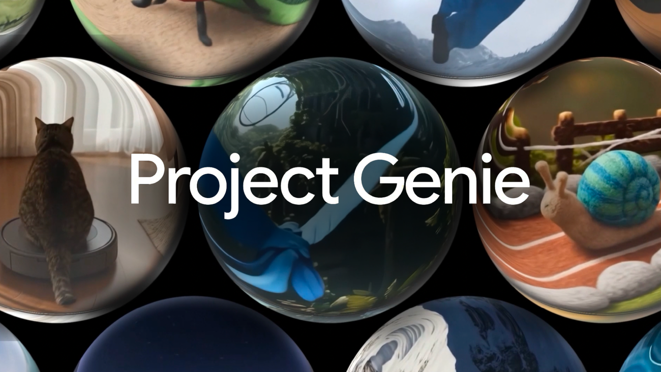
DeepMind has added Street View grounding to Project Genie, allowing the system to anchor generated, interactive environments to real-world imagery. The change lets simulated scenes begin with visual cues, street layouts and landmarks from actual locations, which can raise the contextual fidelity of simulations used for research and creative work. Creators select a Maps pin to pick a U.S. location and may choose a visual style before prompting Genie with a character or subject description. Project Genie then synthesizes an imaginative, interactive environment whose starting visuals are matched to Street View using Maps Imagery Grounding — the same underlying technology previously used to produce AI visuals from Street View content.
Style options cited by the team include "Ocean World," "Desert Sands," "Stone Age" and "B&W film," letting users blend geographic realism with imaginative aesthetics. That workflow is intended for researchers and makers who want simulations that feel rooted in specific places while remaining generative and interactive rather than strictly photorealistic reproductions. Project Genie is positioned as a general — purpose world model for generating diverse, interactive environments. Since launch it has served as a research tool to train agents and to simulate highly realistic road scenarios for Waymo. Grounding scenes in Street View is expected to improve realism for navigation and perception testing and to make human — centered simulations more contextually relevant than wholly synthetic worlds.
Rollout is staged: Street View grounding is available now for places in the U.S., with plans to expand to additional regions over time. Access to Project Genie, including the Street View feature, is being made gradually available worldwide to eligible Google AI Ultra subscribers (the $200 tier) for users aged 18 and older; the team describes the distribution as phased rather than instantaneous.
DeepMind reiterates that Project Genie remains an experimental research prototype in Google Labs and that generated details are still being refined. Documentation on current limitations and recommended use cases is published on the project site, and developers are advised to consult those materials before relying on Maps Imagery Grounding for safety — critical or production deployments.
Sources
Replies (0)
No replies in this topic yet.